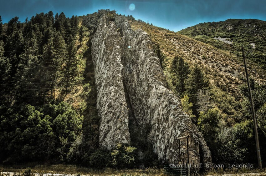
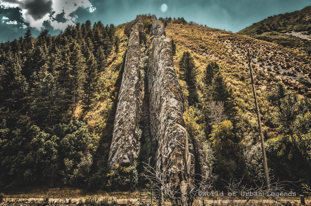
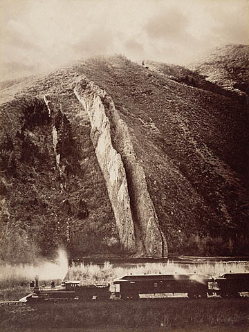
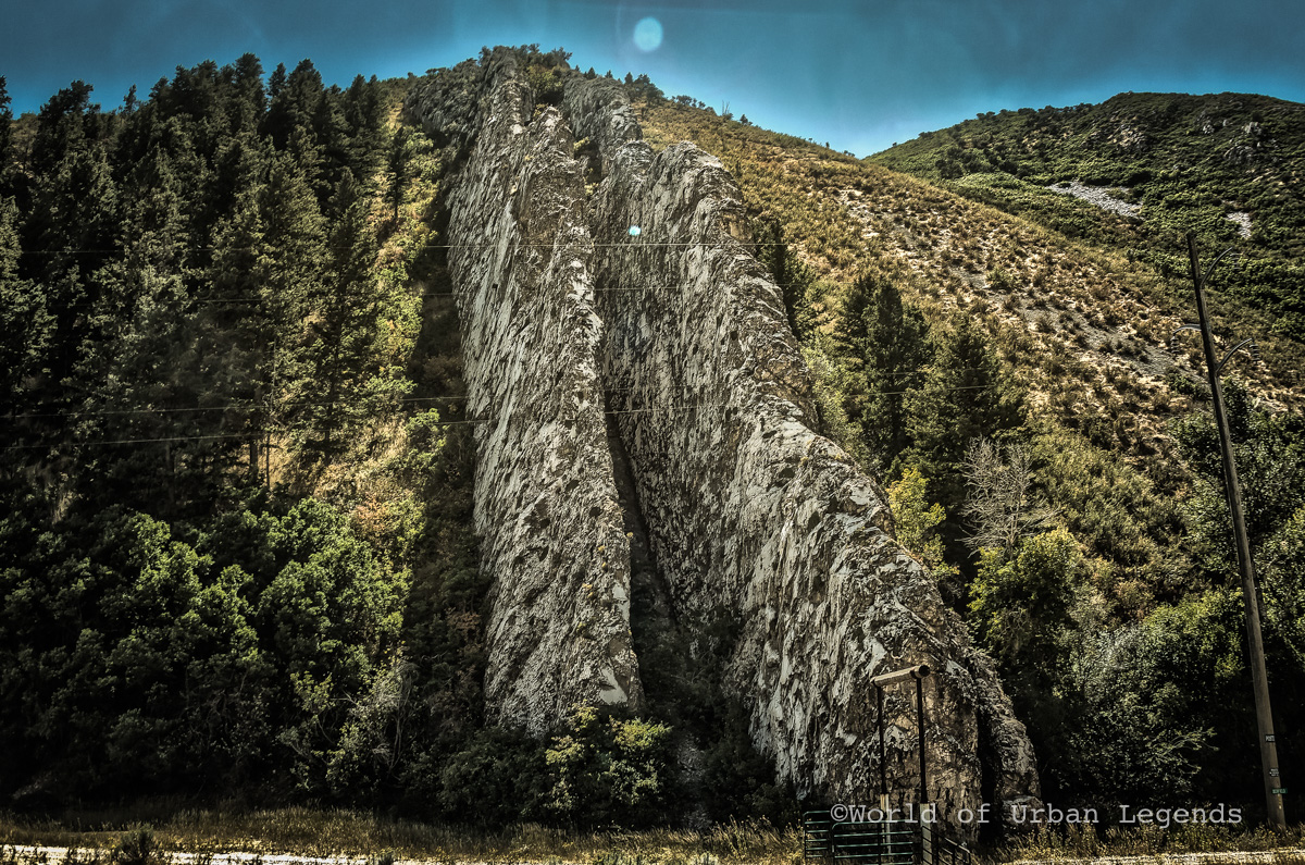
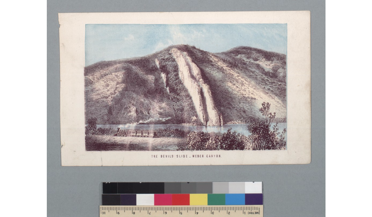
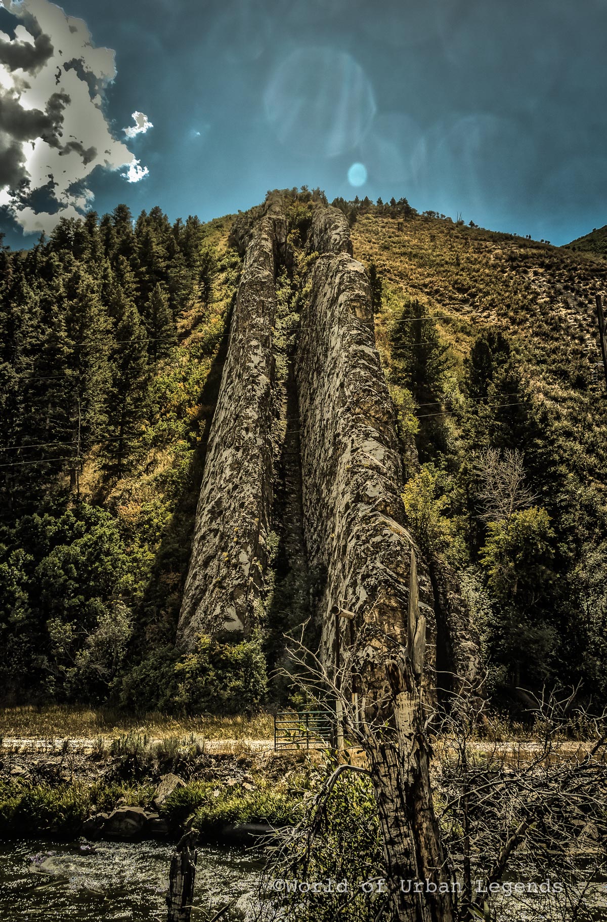
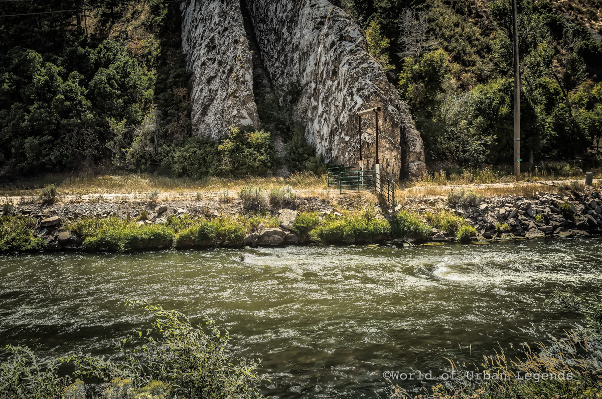
Along a scenic stretch of interstate in Utah, an unusual formation called the “Devil’s Slide” can be found. It is located between Morgan and Henefer, along I-84 between mile markers 110 and 111. Pull outs on both sides of the freeway allow travelers to take a closer look at the giant rock formation.
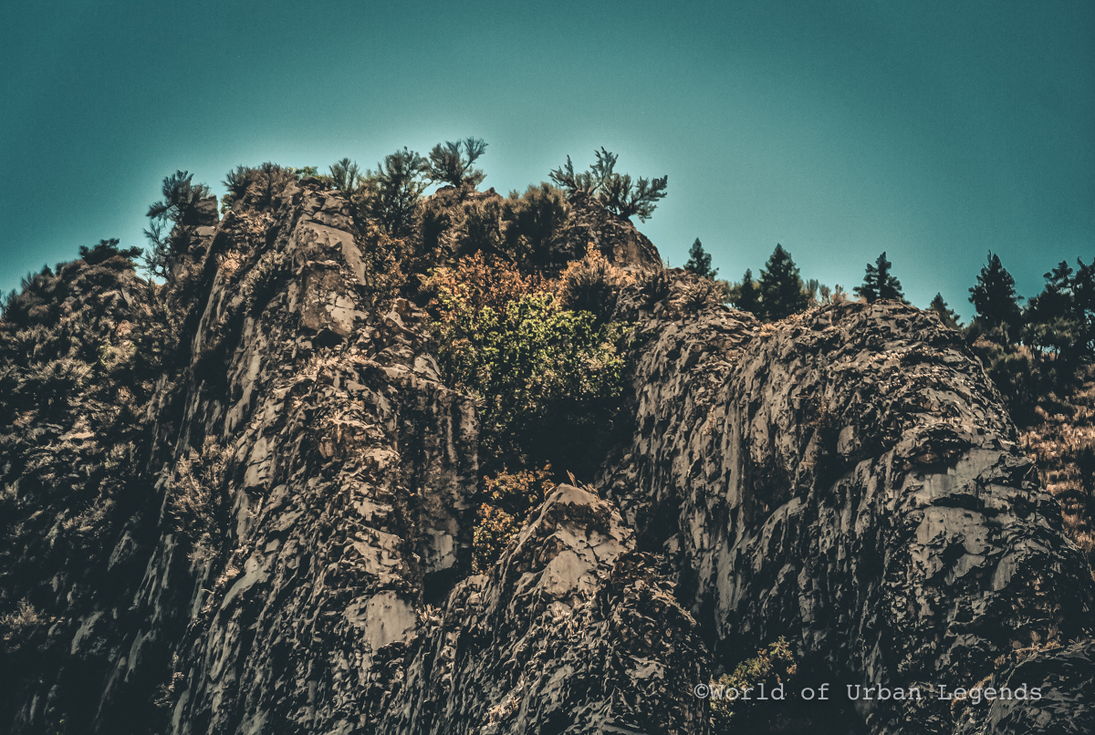
The Devil’s Slide is formed by two hard, weather resistant limestone layers that reach about 40 feet high and several hundred feet long. They are separated about 25 feet apart with a softer shaky limestone layer between them, which is susceptible to erosion and weathering. This is forming the chute of the slide.
The area now known as Weber Canyon was initially called “Gutter Defile.” Local Croydon resident James John Walker was very likely the first to have named the strange rock formation “Devil’s Slide,” when he was asked about it by fellow railroad workers during westward expansion of the Transcontinental Railroad.
A few years later, in 1875, Carl Ege of the Utah Geological Survey was officially quoted in a newspaper, coined the term Devil’s Slide: “Looking like a large playground slide fit only for the Devil, this site is a tilted remnant of sediments deposited in a sea that occupied Utah’s distant geologic past.”
The legends around how Devil’s Slide was formed was brought to the public’s attention when the first hand account of Allan Forman was published in the Salt Lake Tribune in 1888. The article is a colorful and rather racist opinion piece of his experience in the canyon.
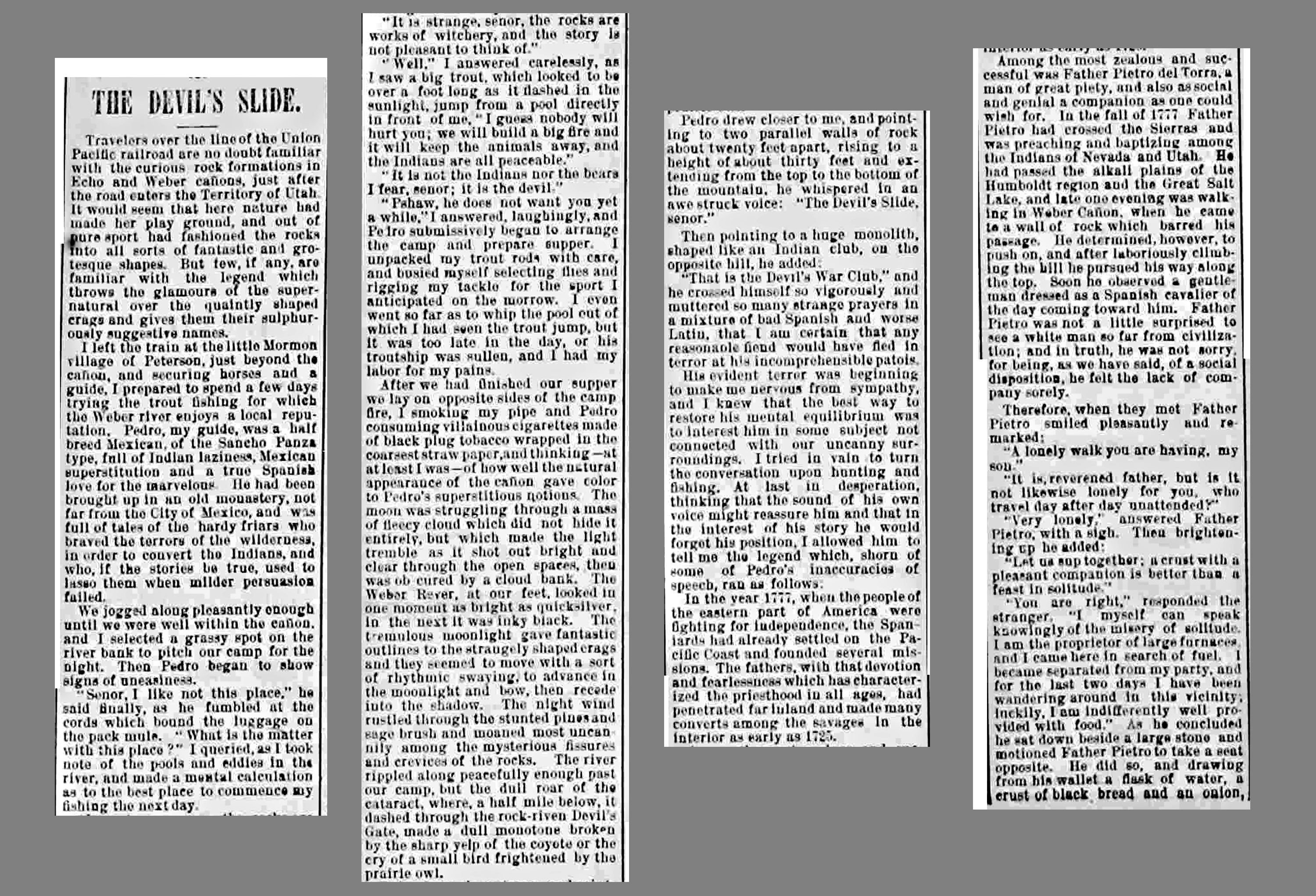
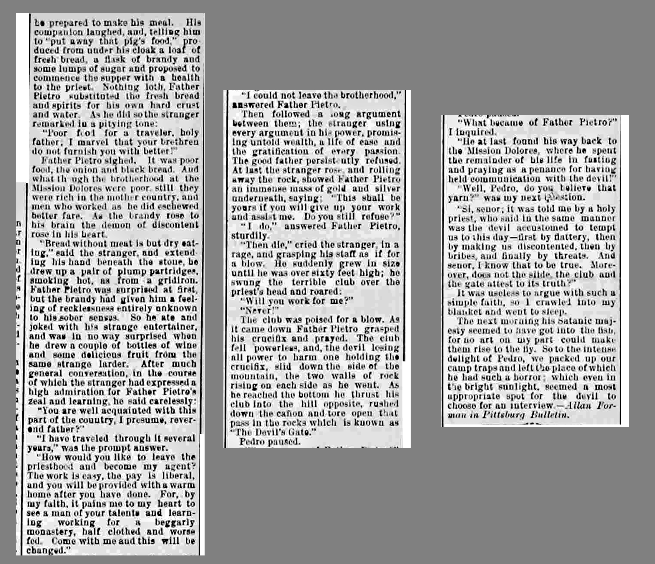
He came to the area to fish for trout with a Mexican Indian guide who told him the area was haunted by the Devil himself. According to legend, Father Pietro del Torra, a missionary traveling through the canyon, encountered the Devil himself, disguised as a Spaniard. When the Devil tempted the priest with food, alcohol, and wealth, the religious man resisted. The devil threatened to kill him, but Father Pietro held up his crucifix and prayed, therefore weakening the Devil, making him fall down the side of the mountain and forming the Devil‘s Slide, the Devil‘s Club and the Devli’s Gate.
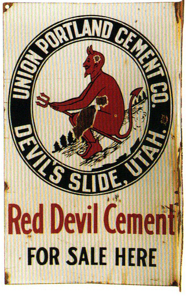
In the early 1900s a cement company was formed when limestone was found in abundance in the canyon. The mining town, initially called Portland, was renamed Devil’s Slide according to the demand of the local residents. The strange name and history were embraced by the workers and even the company’s baseball team was named the Red Devils.
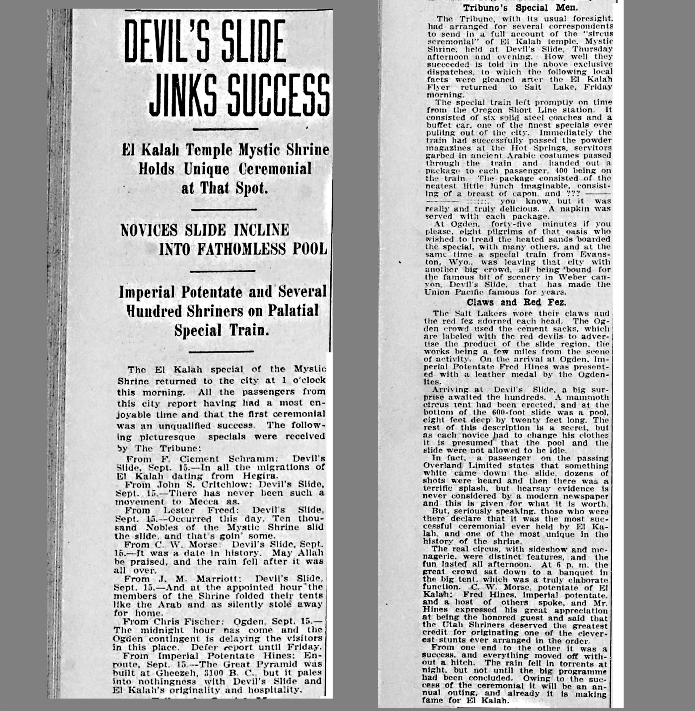
To add to the strange history of the region, Shriners of the El Kalah Temple of Salt Lake City held ceremonies with thousands of members in attendance and slid down the slide in 1910.
Before the Great Depression, the town of Devil’s Slide had over 500 residents, but it declined over the following decades until the school closed and only few families remained. Finally the cement company closed the town and all that remains today is a large gravel pit.
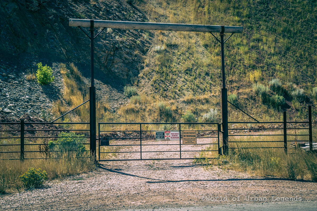
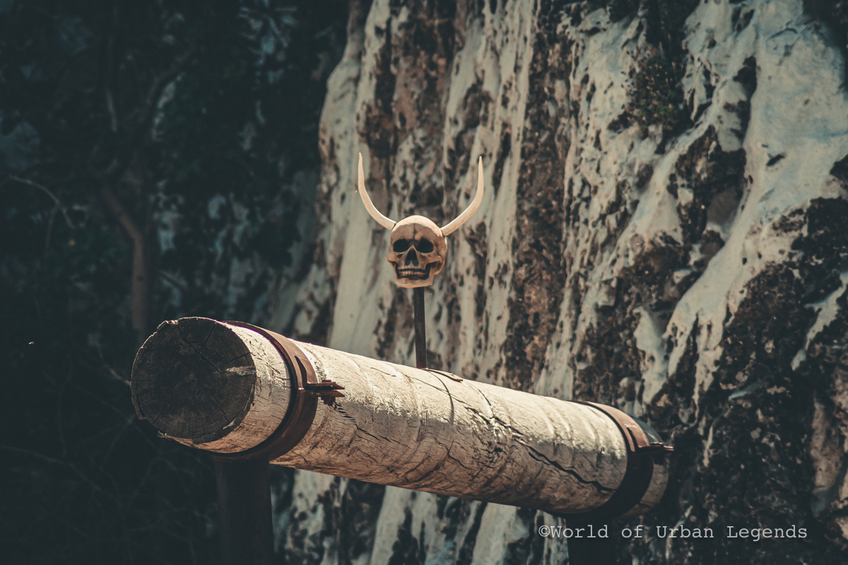
The Devil’s Slide is now surrounded by private property and access to it directly is not permitted. The Slide is clearly visible from designated freeway pullouts where viewers can also spot many “No Trespassing” signs and other weird objects posted to keep unwanted visitors away.
Sources:
- https://en.wikipedia.org/wiki/Devil%27s_Slide_(Utah)
- http://www.morganhistoricalsociety.com/landmarks.htm
- https://calisphere.org/item/ark:/13030/tf8b69p56f/
- http://www.standard.net/Ogden-Area-History-Bin/2014/09/25/History-bin-for-Sept-26
- https://geology.utah.gov/map-pub/survey-notes/geosights/devils-slide/
- https://newspapers.lib.utah.edu/details?id=12904500&facet_paper=%22Salt+Lake+Tribune%22&date_tdt=%5B1888-06-01T00%3A00%3A00.000Z+TO+1888-06-30T00%3A00%3A00.000Z%5D&q=%28devil%29
- https://newspapers.lib.utah.edu/details?id=14139000&facet_paper=%22Salt+Lake+Tribune%22&date_tdt=%5B1909-01-01T00%3A00%3A00.000Z+TO+1920-01-01T00%3A00%3A00.000Z%5D&q=%28%28Shrine%29+AND+%28Devil%27s+AND+Slide%29%29

